Ita
Ita


Registered
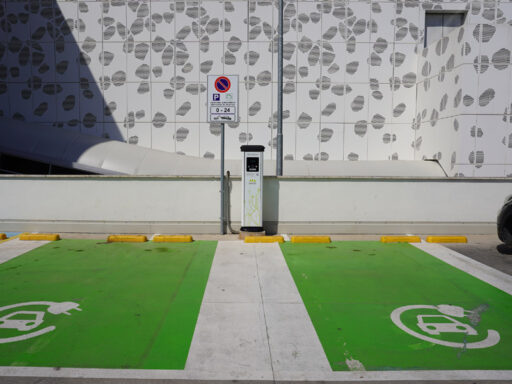
Bologna center
1:100 Scale dwg file (meters)

Warning
Registered users can view an enlarged preview. Register Now!

Warning
Registered users can view an enlarged preview. Register Now!

Warning
Registered users can view an enlarged preview. Register Now!

Warning
Registered users can view an enlarged preview. Register Now!

Warning
Registered users can view an enlarged preview. Register Now!
CTC dwg planimetry of Bologna centre updated to 2022.
The Bologna Territorial Information Services make the Municipal Technical Map in .dwg format available to interested parties.
Conditions for the use of the cartography
Users undertake to:
- cite the month, year and source of origin on printouts or any document produced from data acquired by the Municipality of Bologna;
- release the Municipality of Bologna from any liability for any damage caused to third parties by the use of the data received.
Exemption from liability
The Municipality is released from any liability concerning the absolute accuracy of the cartographic data contained in the DWGs. In particular, it is specified that the numerical cartographic data are derived from direct aero-photogrammetric methods, and the level of detail is on a scale of 1:2000.
Recommended CAD blocks

DWG
How the download works?
To download files from Archweb.com there are 4 types of downloads, identified by 4 different colors. Discover the subscriptions
Free
for all
Free
for Archweb users
Subscription
for Premium users
Single purchase
pay 1 and download 1